// GROUND CONTROL · HAC-01
Aerial
Where drones, flight control, and aerial footage live. Move your cursor, or tilt your phone, to fly the horizon.
- [OK] Drone Preview simulator, live
- [OK] airframe ideas on paper
- [OK] first aerial footage, 10 frames below
- HDG
- 000°
- BAT
- 100%
- GPS
- 14 SAT
- POS
- 25.017N 121.540E
- MODE
- STABILIZE
01 hac-drone-simulator
Drone Preview (空拍預演): fly a virtual DJI drone (Mini, Air, or Mavic) over a real 3D map, with each model's camera, lens, and aspect ratio, to plan aerial shots before the real flight. A crash costs nothing.
STATUS LIVE · runs in the browser · hac-drone-simulator.vercel.app
02 Footage
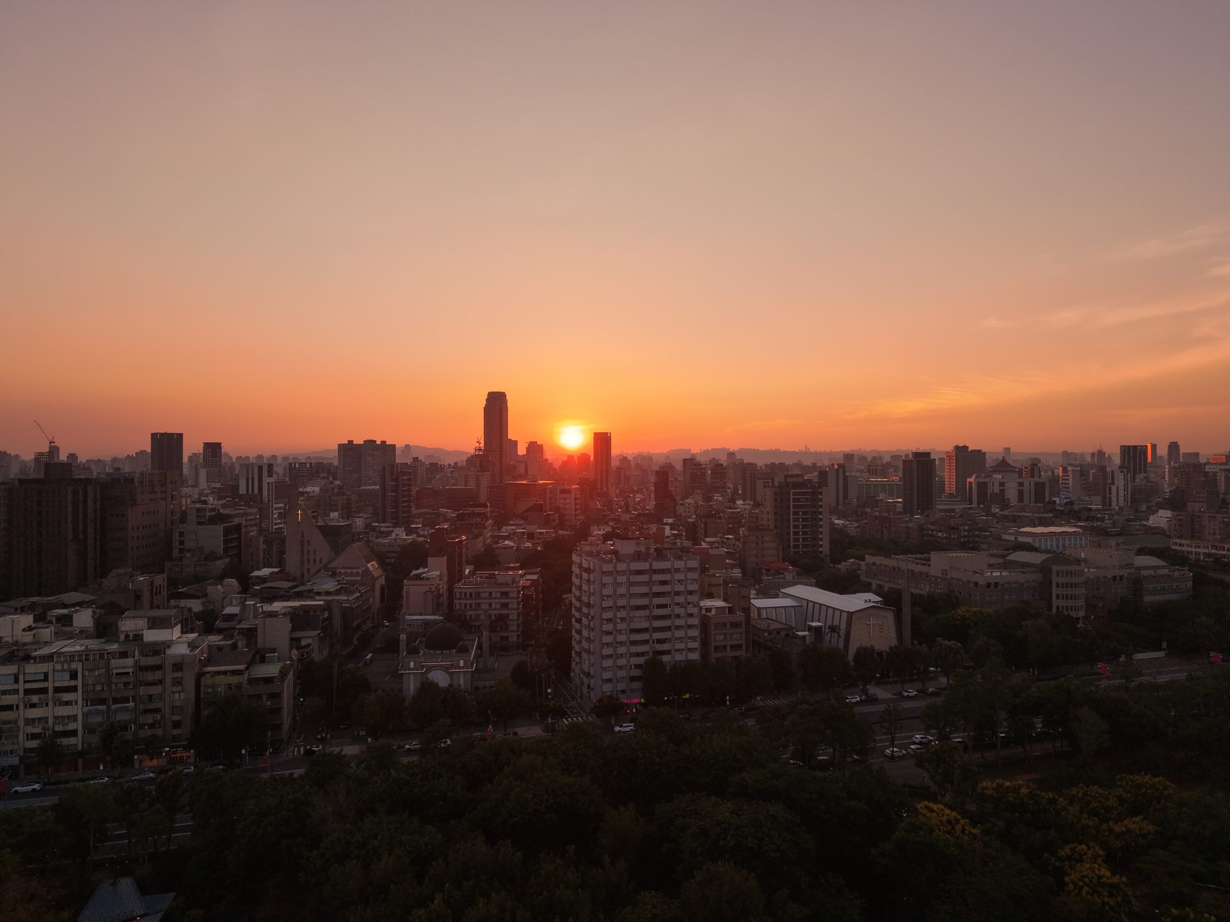
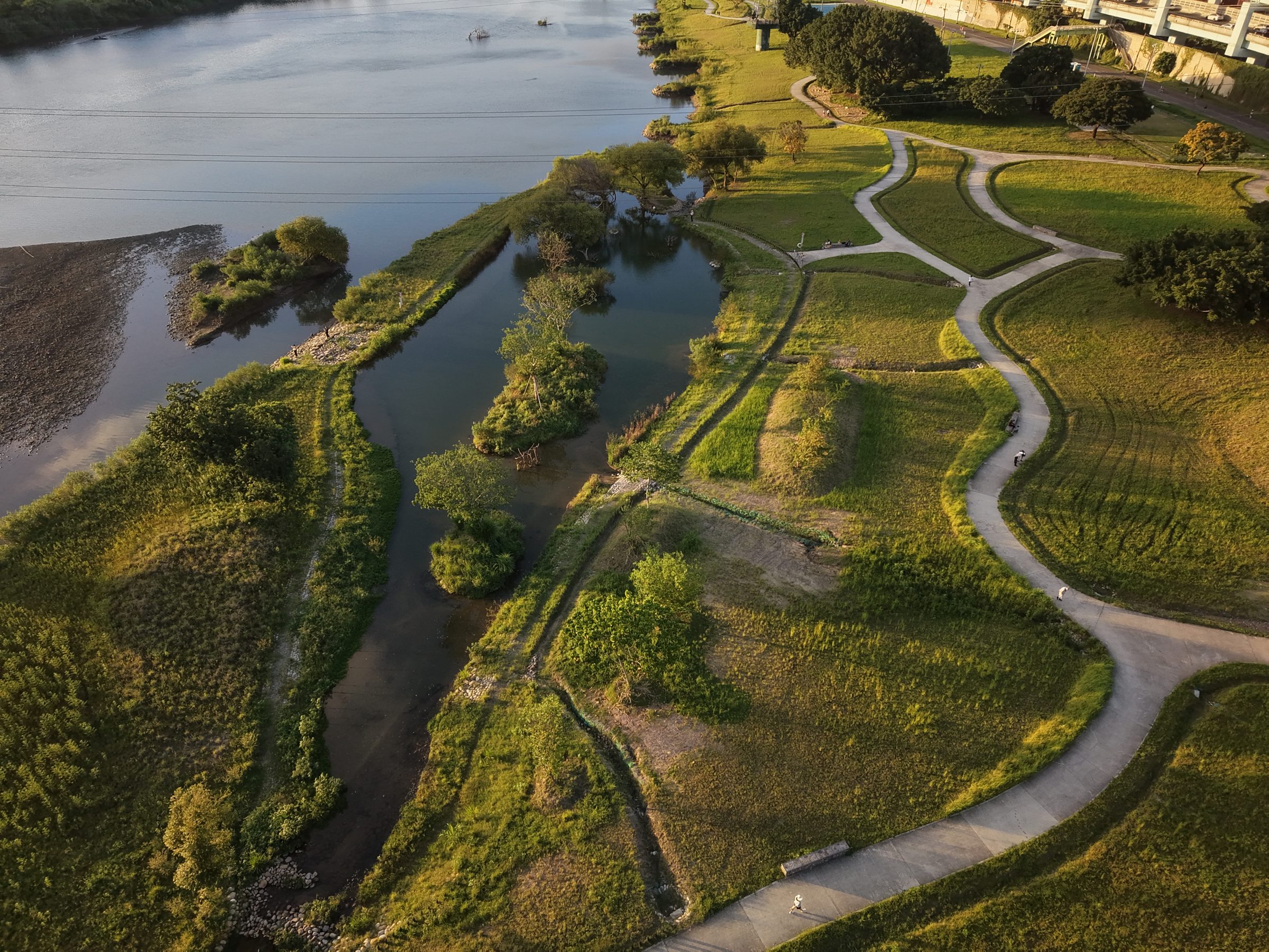
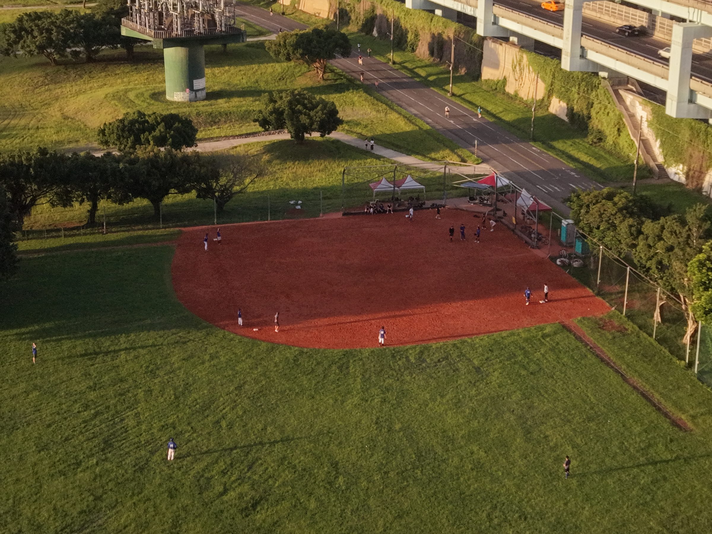
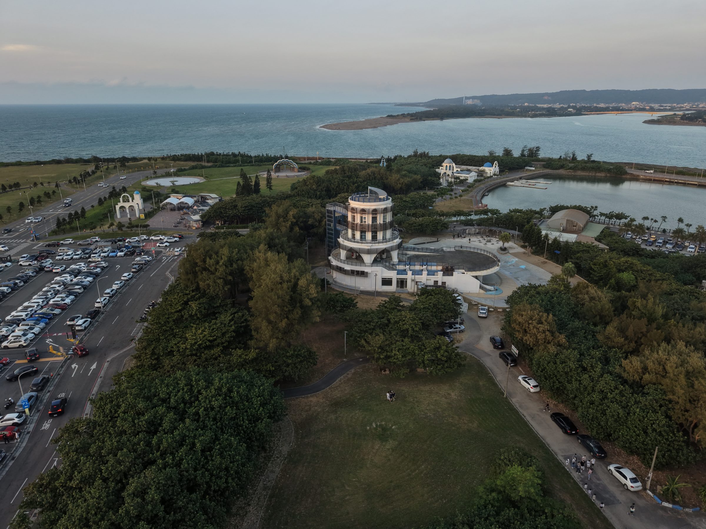
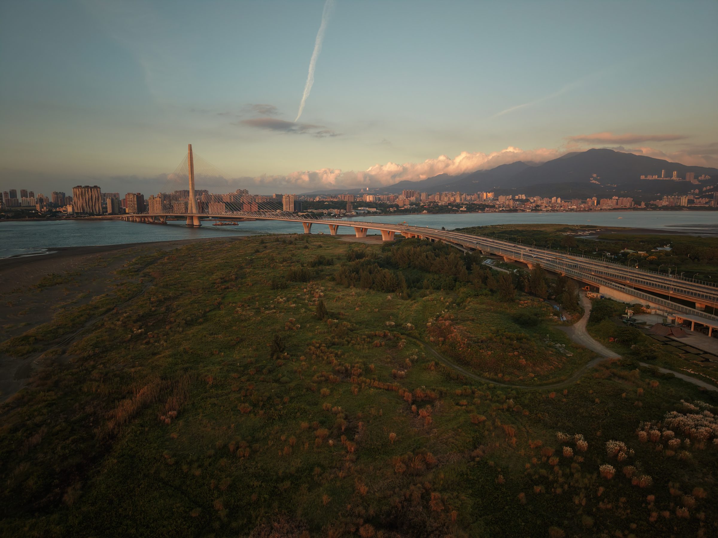
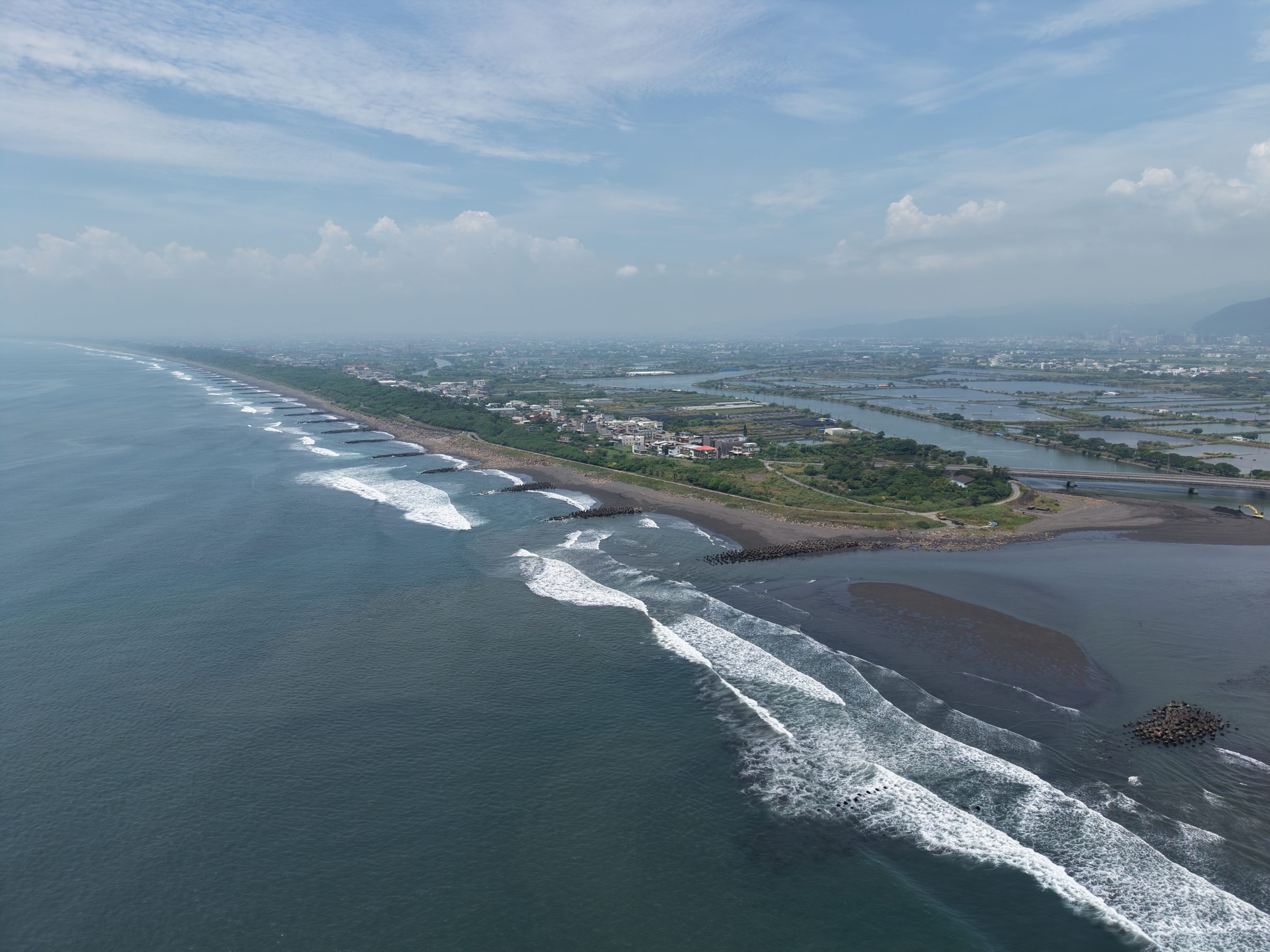
Coastlines, skylines, and the riverside, seen from above.




03 Flight log
- Got curious about how drones stay level. Started reading about PID and attitude estimation.
- Remembered steering FPGA Tetris with an MPU-6050 IMU. Same sensor, much higher stakes.
- Built hac-drone-simulator to plan shots on a 3D map before taking off.
- First real flights: coastline, skyline, and the riverside.
- More footage, published here and on YouTube.